


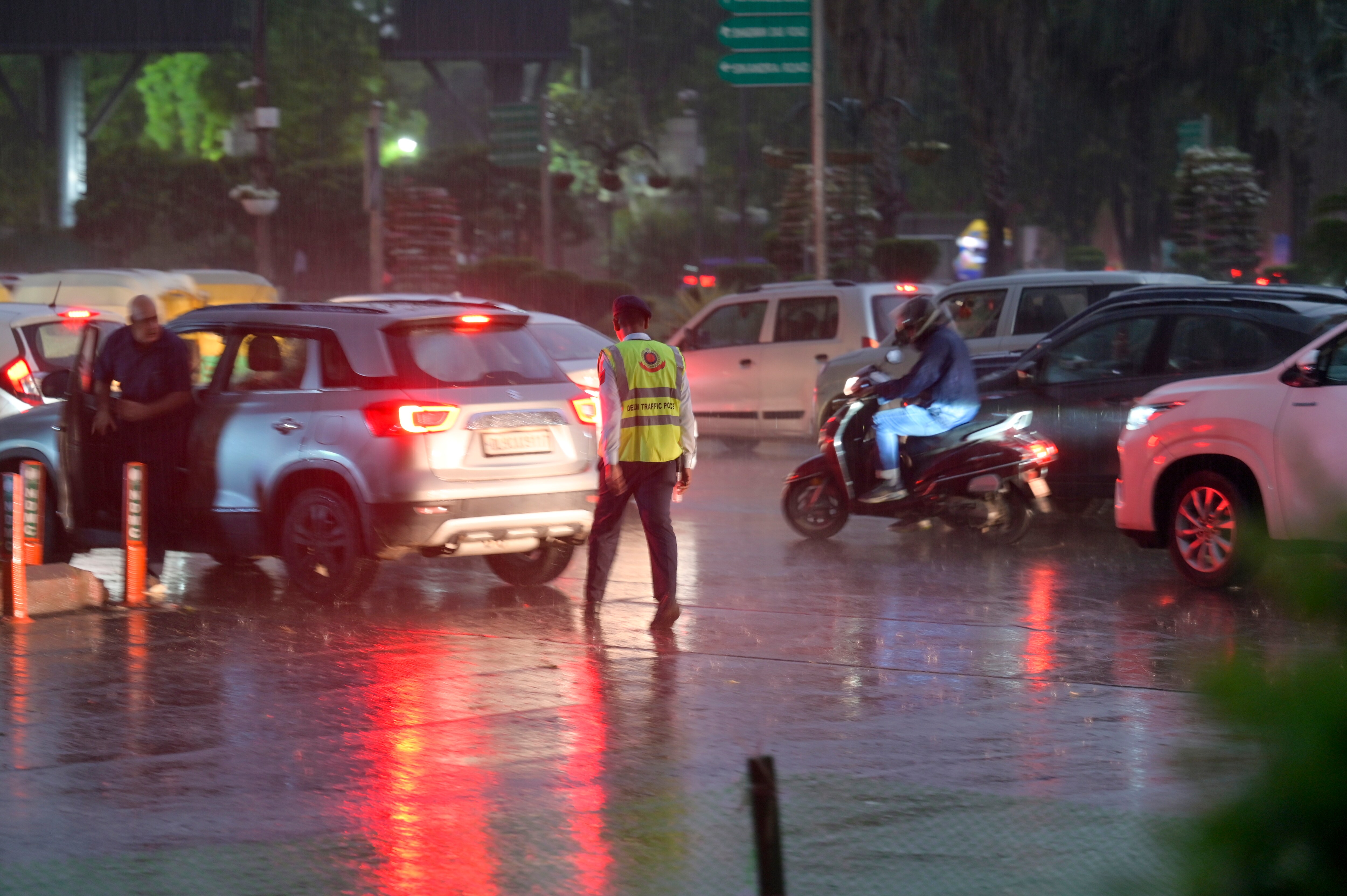
Heavy rainfall, accompanied by intense thunderstorms and lightning, lashed several parts of the National Capital Region on Thursday, creating significant disruptions across the city. The India Meteorological Department (IMD) responded to the sudden shift in weather by issuing an orange alert for Delhi, signaling the potential for severe conditions throughout the day. The meteorological agency warned that the region would experience rainfall ranging from 5 to 15 mm per hour, alongside gusty winds blowing at speeds between 40 and 60 kilometres per hour.
The orange alert remained in force until 2 pm on Thursday, with the department indicating that intermittent spells of rain would likely continue across various sectors of the capital. This surge in precipitation comes after the city recorded a minimum temperature of 23.3 degrees Celsius, a figure noted as 3.7 degrees above the seasonal average. According to the IMD, the maximum temperature for the day was expected to hover around 29 degrees Celsius, providing a noticeable drop in heat as daytime conditions were tempered by the persistent showers.
Weather experts have attributed this sudden change in the region's climate to a combination of a western disturbance and a cyclonic circulation active over the adjoining areas. Such weather systems are known to cause significant shifts in atmospheric pressure and wind patterns, often resulting in the heavy downpours witnessed by residents on Thursday. While the intensity of the storm caused immediate concern, officials clarified that these conditions are currently classified as part of a normal post-monsoon weather pattern.
The impact of the weather was felt across the wider National Capital Region, as residents navigated through the gusty winds and rain. Meteorological forecasts suggest that the region will continue to see sporadic showers as the system moves through, though the severity of the alert was set to expire in the early afternoon. The arrival of the rain has brought a temporary reprieve from the higher temperatures experienced in the days prior, shifting the focus of city authorities and citizens alike toward managing the challenges posed by the wet weather.
As the IMD continues to monitor the situation, they have emphasized that the current spell is consistent with seasonal expectations for this time of year. Citizens were advised to remain cautious during the active period of the orange alert, particularly given the reports of strong winds and potential for lightning. The transition to this cooler, wetter phase marks a notable shift in the local environment, and meteorological teams remain tasked with tracking the trajectory of the cyclonic activity to provide updated information as the post-monsoon cycle continues to progress.
In the wake of the weather event, civic bodies and commuters are adjusting to the conditions. While the intensity of the storms has fluctuated, the sustained nature of the rainfall in specific pockets of the region has been a focal point for the weather department’s ongoing monitoring. The IMD plans to keep a close watch on any further developments arising from the atmospheric disturbances currently affecting the northern plains, ensuring that the public remains informed as the weather stabilizes following the expiration of the current advisory.








Comments