


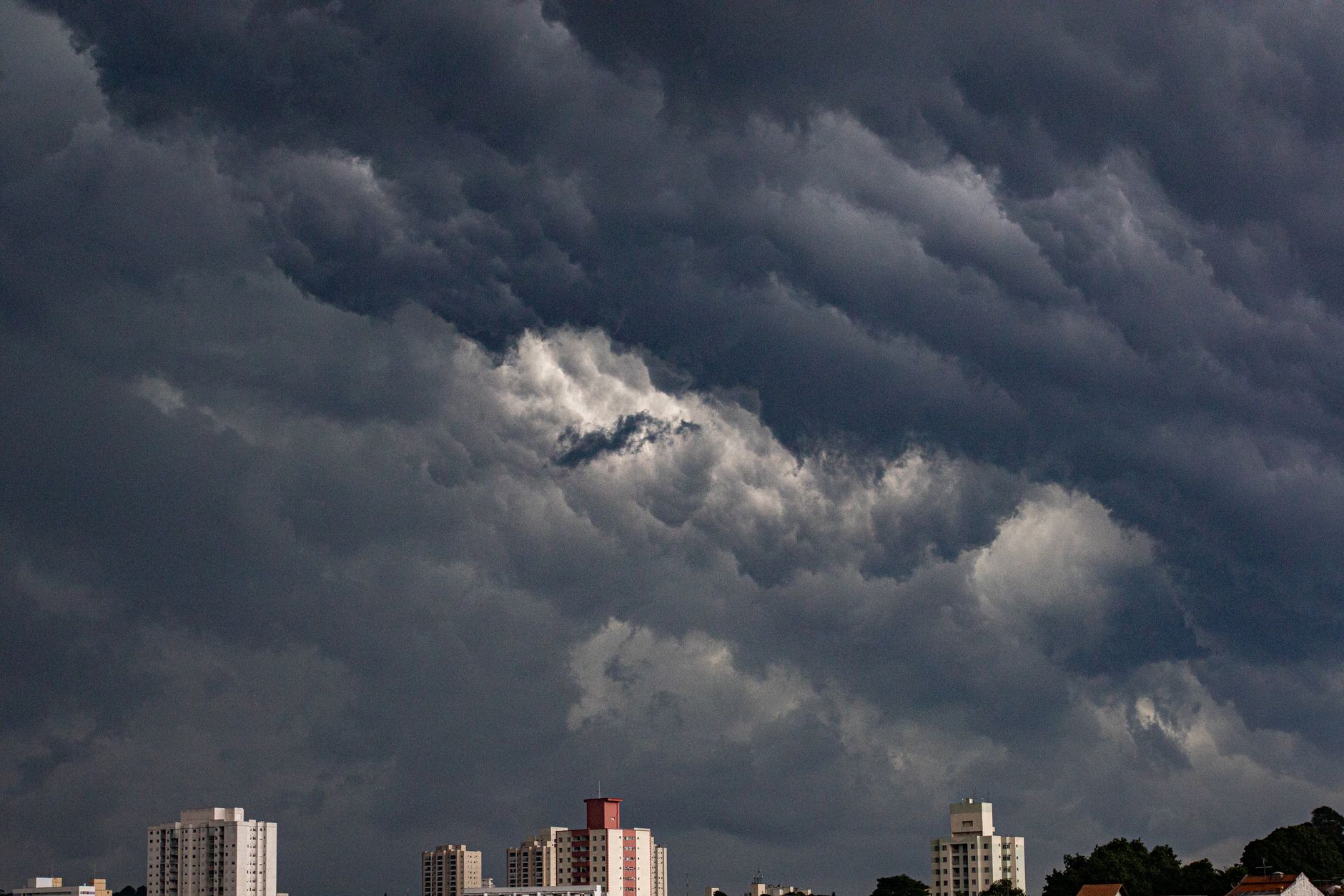
The India Meteorological Department (IMD) has issued a weather alert for the national capital and several northern states, projecting a spell of light rain and thunderstorms expected to continue through Friday. According to official forecasts, the first half of October 30 is likely to remain cloudy and wet, with western and northern parts of Delhi expected to experience the most significant weather activity. These conditions are part of a broader atmospheric disturbance affecting various regions across the country.
Meteorological experts attribute the current pattern in northwest India to the interaction between a western disturbance and the remnants of Cyclone Arnab, which manifested as a depression. The IMD indicated that an additional western disturbance is slated to influence the region throughout the week, sustaining the potential for unsettled weather. For the Delhi-NCR area, the department has cautioned residents to expect very light rain accompanied by thunder and lightning during the morning and forenoon hours. Furthermore, residents may encounter strong surface winds, with speeds potentially reaching between 30 and 40 kmph.
Temperature readings in the capital are forecasted to range between 27 and 29 degrees Celsius during the day, while nighttime temperatures are likely to settle between 16 and 18 degrees Celsius. While initial showers on Thursday were concentrated in west and north Delhi, weather models suggest these conditions could gradually extend toward central and south Delhi, as well as neighbouring areas including Gurgaon, Faridabad, Noida, and Ghaziabad. Patchy rainfall is anticipated as cloud cover persists across the region for the next 24 hours.
Beyond the national capital, the IMD has issued specific warnings for Haryana, Chandigarh, and Punjab, where the risk of thunderstorms and isolated hailstorms remains high. These areas are also expected to face thundersqualls, characterized by intense, gusty winds. Meanwhile, significant rainfall is forecast across large segments of east, central, northeast, and peninsular India, continuing a trend of widespread wet weather along the eastern coast.
The weather bureau has noted that Odisha, coastal Andhra Pradesh, and Yanam have already recorded exceptionally heavy rainfall. Looking ahead, the IMD anticipates isolated, extremely heavy rainfall in north Odisha and east Chhattisgarh, with similar conditions potentially developing in north Bihar on Friday. Jharkhand is also bracing for thunderstorms, lightning, and gusty winds as the weather system moves across the interior.
The agency is also monitoring a new development over the Bay of Bengal. A low-pressure area has formed over the south Andaman Sea and its surrounding regions, originating from an upper air cyclonic circulation. Projections suggest this system will track west-northwestward and intensify into a depression over the southeast Bay of Bengal and the Andaman Sea by October 31. Meteorologists expect the system to strengthen further as it advances toward the Andhra Pradesh coast over the following two days.
As these multiple weather systems converge, local authorities and residents in the affected regions have been advised to remain updated on the evolving weather situation. The combination of sustained convective activity and incoming low-pressure systems suggests that the current cycle of wet weather in northern and eastern India is likely to persist as authorities monitor the movement of the storm systems across the peninsula and the northern plains.







Comments